Sep 2, 2026
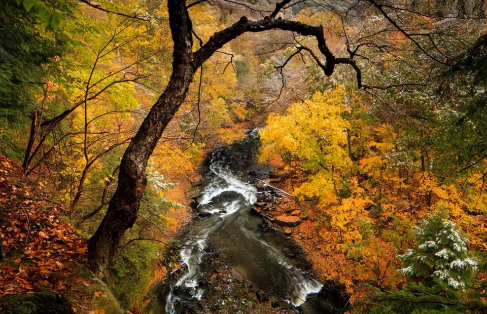
26 Best Hikes in Cuyahoga Valley National Park
Twenty-six distinct Cuyahoga Valley hikes across waterfalls, ledges, wetlands, canal history, and quiet bridle trails, with reviewed maps and live conditions.
Read the guideField notes
Detailed, practical guides designed to answer the questions that surface between the map and the trailhead.
Twenty-six distinct Cuyahoga Valley hikes across waterfalls, ledges, wetlands, canal history, and quiet bridle trails, with reviewed maps and live conditions.
Read the guide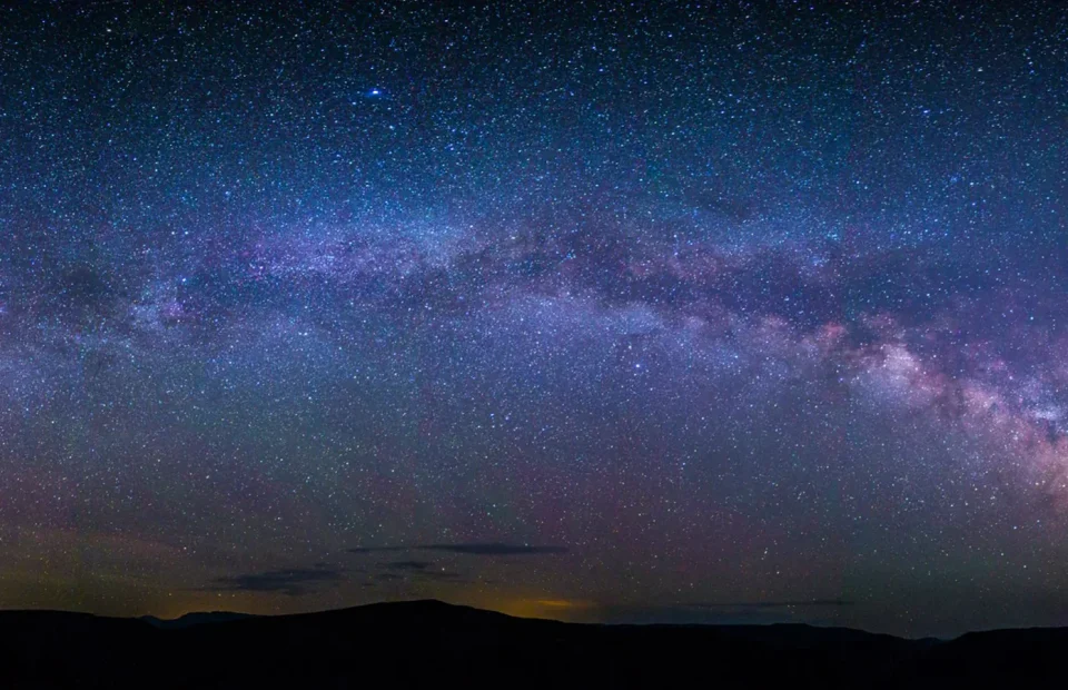
Fourteen distinct Black Canyon hikes across both rims and three permitted inner-canyon routes, with reviewed maps, profiles, and live park alerts.
Read the guide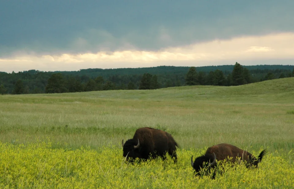
Eleven Wind Cave hikes with reviewed terrain and satellite maps, elevation profiles, wildlife advice, trailhead logistics, and live NPS alerts.
Read the guide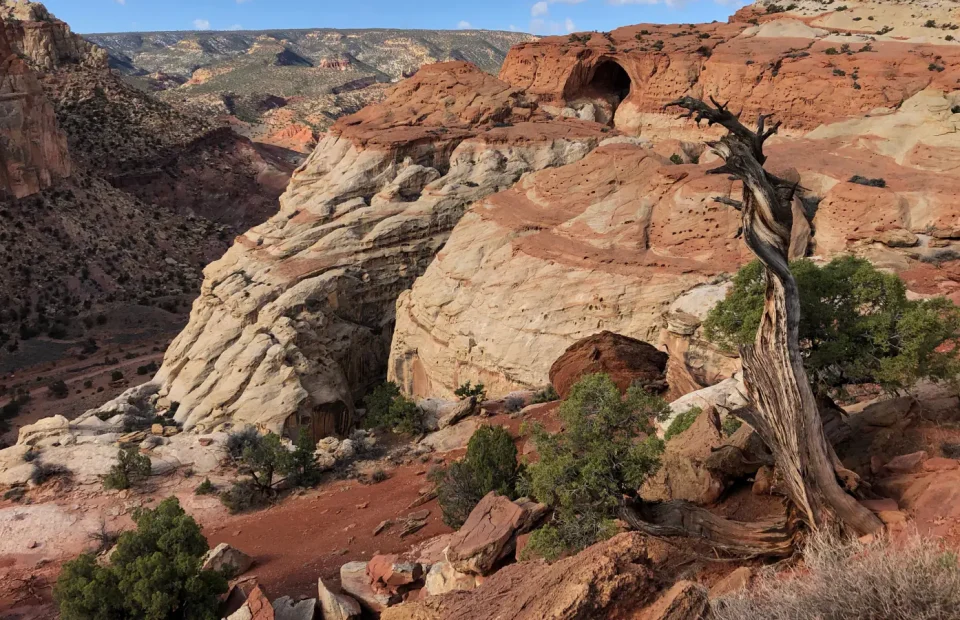
Twenty-one Capitol Reef hikes across Fruita, Highway 24, Grand Wash, Sulphur Creek, Waterpocket, and Cathedral districts, with reviewed maps and profiles.
Read the guide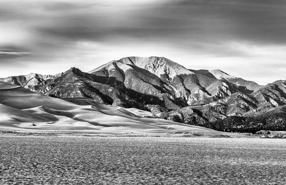
Thirteen distinct Great Sand Dunes hikes across the sand sheet, dunefield, forest, foothills, and alpine preserve, with reviewed maps, profiles, and live park alerts.
Read the guide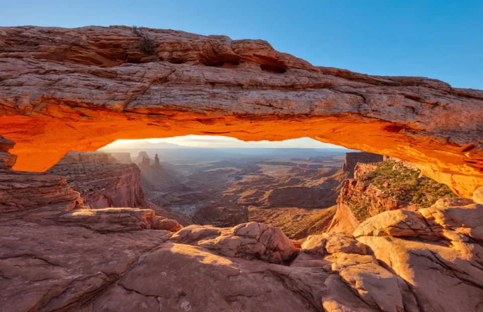
Twenty-one Canyonlands hikes across Island in the Sky, The Needles, Horseshoe Canyon, and the White Rim, with reviewed maps, profiles, road notes, and live conditions.
Read the guide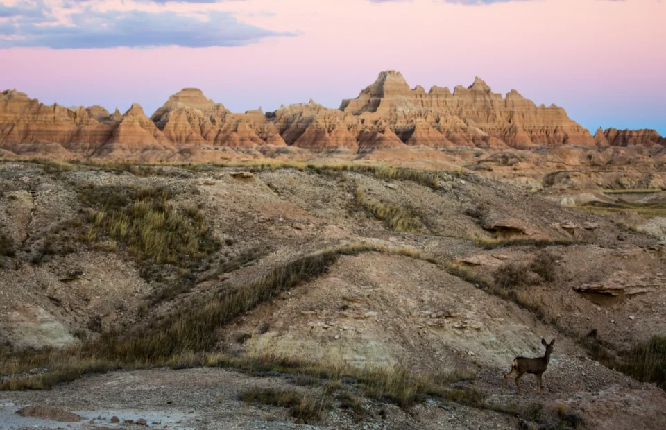
Nine defensible Badlands hikes covering all eight established park trails plus the Deer Haven backcountry route, with reviewed terrain maps, elevation profiles, planning notes, and live alerts.
Read the guide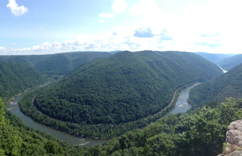
Twenty-eight distinct New River Gorge hikes across the Fayetteville, Grandview, Sandstone, Cunard, and Nuttallburg districts, with reviewed maps, profiles, and live conditions.
Read the guide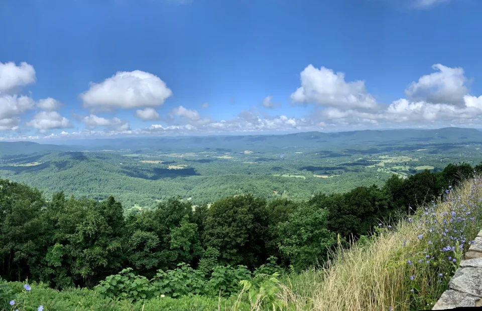
Twenty-five distinct Shenandoah hikes from Dickey Ridge to the South District, with reviewed terrain maps, elevation profiles, Skyline Drive logistics, and live conditions.
Read the guide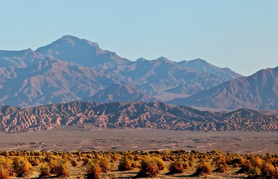
Twenty-one Death Valley hikes for salt flats, marble narrows, volcanic craters, badlands circuits, desert peaks, and an easy pupfish boardwalk.
Read the guide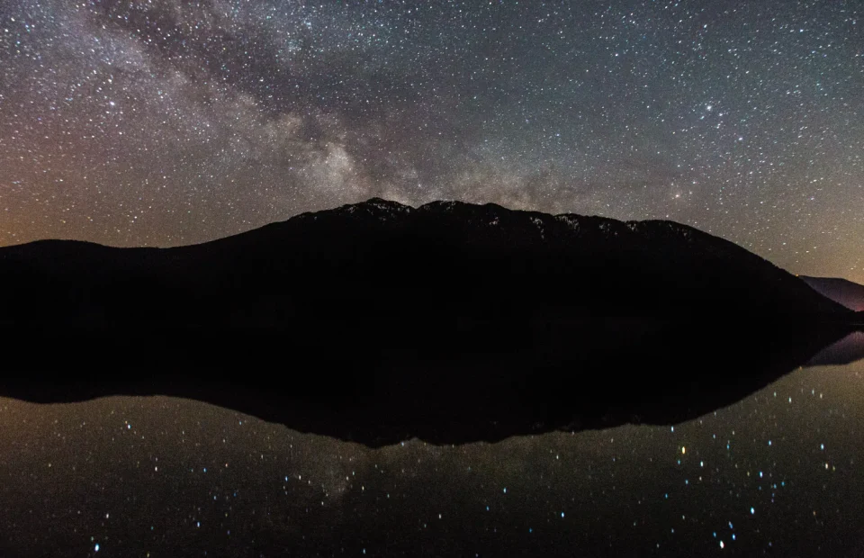
Twenty-seven distinct Glacier hikes across Lake McDonald, Logan Pass, Many Glacier, St. Mary, the North Fork, Two Medicine, and the southern park, with maps, profiles, access notes, and live conditions.
Read the guide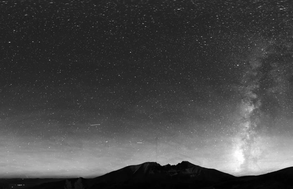
Twenty-two Great Basin hikes for bristlecone groves, alpine lakes, remote wash routes, accessible forest walks, and Wheeler Peak.
Read the guide