When to go
Start with the seasonal road, weather, crowd, and daylight pattern—not a generic “best month.”
California
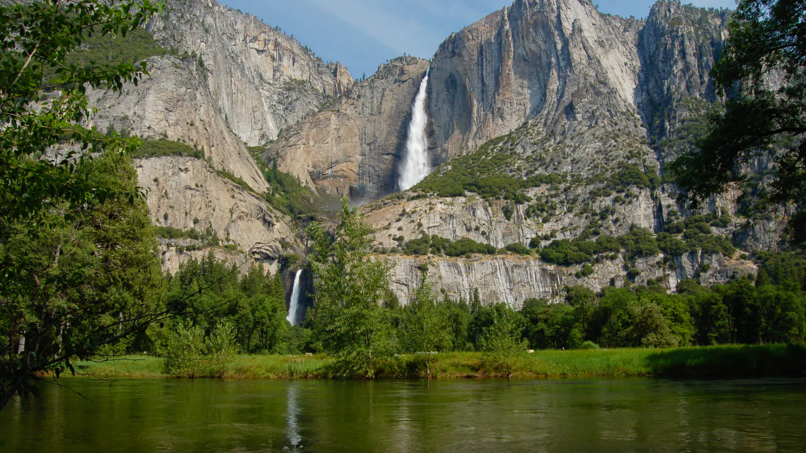
Balance Yosemite Valley icons with high-country access, waterfalls, seasonal roads, and the time required to move between regions.
Build the day
Balance Yosemite Valley icons with high-country access, waterfalls, seasonal roads, and the time required to move between regions.
Start with the area that supports your highest-priority days, then keep the rest of the itinerary geographically tight. This guide’s live layer uses a representative visitor-area forecast; conditions can differ sharply with elevation and distance.
Plan in the right order
Start with the seasonal road, weather, crowd, and daylight pattern—not a generic “best month.”
Choose a gateway that supports most of the itinerary instead of chasing the cheapest room on the map.
Separate park entry, vehicle reservations, permits, tours, camping, and parking before deadlines blur together.
Pair every demanding or access-sensitive day with a nearby lower-commitment option.
Live planning layer
The display uses a representative visitor-area forecast. Mountain, desert, coastal, and canyon conditions can differ sharply elsewhere in the same park.
Live park weather
Yosemite Valley Welcome Center
Loading the latest conditions and alerts…